Accuracy Matters

Experienced Problem Solvers
CompassDrone leverages its 25 year experience and industry knowledge to, above all provide complete drone solutions. First of all, we aim to support our customers through the process of setting up a drone program in their organization. CompassDrone realizes there’s more to a drone program than just the hardware. As a result, we provide the training to get certified as well as software, and services. Check out our parent company CompassData to see what other ways we can help you and your organization.
Complete Drone Solutions
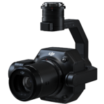
Mapping with a drone can cut your time on a survey project down by 75%! Due to this, you can see your ROI in just a few short days. Therefore, your organization should have complete drone solutions in place. Finally, this innovative technology is paired with a high-resolution camera enabling detailed mapping capabilities.
One Stop Shop
We offer a wide range of hardware, software, and training options for complete drone solutions. Whether you’re using your drone for mapping, search, and rescue, or some other industrial application, we have you covered. Combine your hardware purchase with software and training for a one-stop-shop solution.
Training – FLIR – LiDAR – Services

Part 107 Training
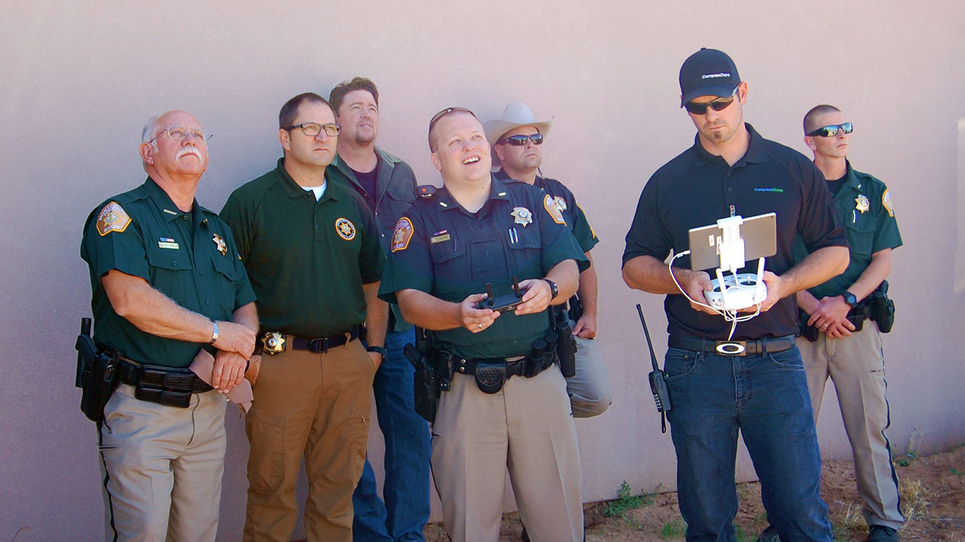
The Part 107 training course has been built by FAA Certified Flight Instructors. Therefore, it is based off years of experience working with manned aircraft pilots.
Each module will include a large lesson such as airspace, paired with a smaller lesson for better information retention. This unique approach will above all yield a more confident remote pilot.
FLIR
There’s more to see out there than what catches the naked eye. FLIR describes itself as the worlds sixth sense, seeing and avoiding things you didn’t realize were in front of you. Ask us about our FLIR lineup and let us help you increase you safety and efficiency with the best perception and awareness technology on the market.


LiDAR
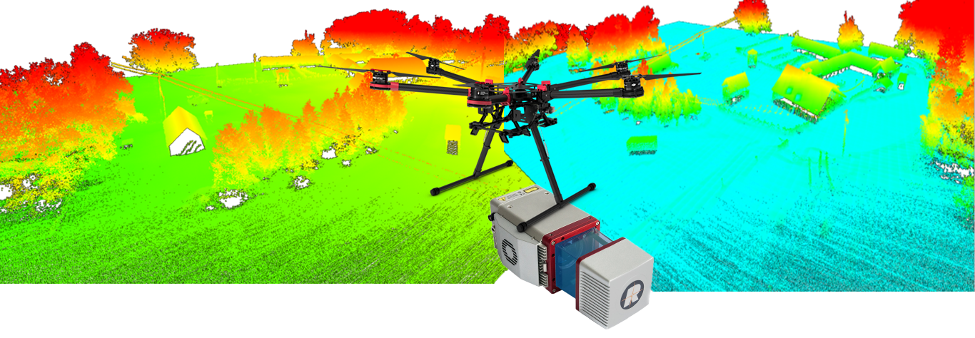
Whether you’re mapping long linear infrastructure, mapping sites covered by dense canopy, or need to map at night, LiDAR is your answer. Things that used to be incredibly time consuming or down right impossible are now fast and easy thanks to LiDAR technology. We have the hardware, software, and know-how to provide you with the solution to your problems.

Drone Services
High Accuracy Drone Services for mapping and other applications is a skill CompassDrone has been honing for the past 5 years.
CompassDrone is above all a premier provider of drone services, across a multitude of industries. We are able to provide high accuracy products for customers who most importantly are looking for more than just aerial photography.