PHANTOM 4 RTK

ACCURATE AND COMPACT MAPPING SOLUTION

The Phantom 4 RTK is a high-precision aerial survey drone with centimeter-level navigation and positioning. This is coupled with a high-performance imaging system. Together they improve survey efficiency and accuracy, reducing operational difficulty and cost.

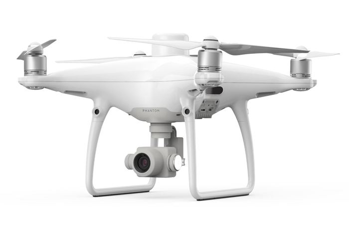
CENTIMETER LEVEL POSITIONING SYSTEM – PHANTOM 4 RTK

A new RTK module, integrated directly into the drone, provides real-time, centimeter-level positioning data. A non-RTK drone requires more ground control points (GCP) per square kilometer which can take several hours to place. The Phantom 4 RTK has an in-built centimeter-accurate RTK navigation positioning system. In addition, it has a high-performance imaging system. This reduces the number of GCPs, which saves at least 75% in set-up time. Sitting just beneath the RTK receiver is a redundant GNSS module, installed to maintain flight stability in signal-poor regions.

The RTK module can provide positioning accuracy of 1cm+1ppm (horizontal), 1.5cm+1ppm (vertical). Uniquely, the P4 RTK can get 5cm absolute horizontal accuracy of photogrammetric models. This drone can be integrated into any workflow, with the ability to connect its positioning system to the D-RTK 2 Mobile Station, using a 4G dongle or a WiFi hotspot.

CompassDrone-Drone-Product-Phantom-4RTK

GATHER ACCURATE DATA WITH TIMESYNC

To take full advantage of the P4 RTK’s positioning modules. With TimeSync you continually align the flight controller, camera and RTK module. Additionally, TimeSync ensures that the P4 RTK records factory-calibrated lense parameters alongside position, altitude and other data.

PRECISE IMAGING SYSTEM

Along with the drone, you get a 1” 20 megapixel CMOS sensor. The mechanical shutter makes mapping missions seamless, as the drone can move while taking pictures without the risk of rolling shutter blur. Due to the high resolution, the Phantom 4 RTK can achieve a Ground Sample Distance (GSD) of 2.74 cm at 100 meters.

CompassDrone aims to, above all, be the experts on accuracy. Together with our partners at CompassData we strive to most importantly achieve the highest level of accuracy. With all of our drone solutions, quality and, most importantly accuracy are at the forefront of what we do. As a result, we think the P4 RTK is exactly what we’ve been wanting from DJI. A drone that first and foremost aims to increase accuracy while cutting down on time in the field.

Pricing and Consultation